
Jug Bay Natural Area

Park or Trails Detail

Northwest Branch Trail Vehicle Restriction

Please be advised that no vehicle traffic is permitted on the trail bridge located just south of Campus Drive on the Northwest Branch Trail until further notice.

The restriction is in place for the safety of all trail users. Please follow all posted signs and use caution in the area.

Trail Closure

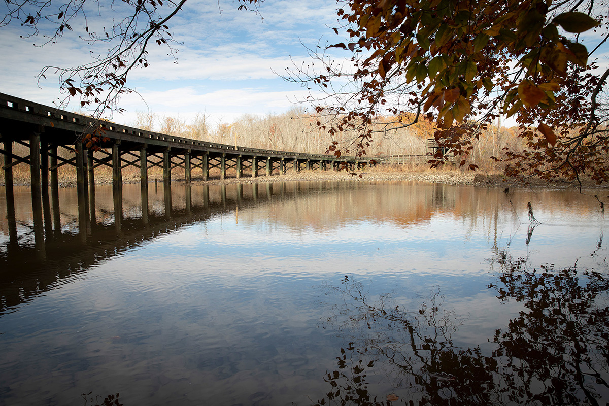
The Red Trail section between markers #27 and #28 at Patuxent River Park will be closed for several weeks while the bridge is replaced. We appreciate your patience and understanding as these improvements are completed.

Jug Bay Natural Area

16000 Croom Airport Road
Upper Marlboro, MD

Amenities
  • Icon of an amphitheater.
  • Icon of a bike next to a bike rack.
  • Icon of a speedboat on a boat ramp.
  • Icon of a tent symbolizing camping.
  • Icon of a person canoeing on water.
  • Icon of a fishing pole with a fish on the line.
  • Icon of a person kayaking.
  • Icon of the letter P symbolizing parking.
  • Icon of a picnic table under a shelter.
  • Icon of a picnic table.
  • Icons of male, female, and indeterminate gender figures, representing restrooms.
  • Icon of a person hiking.
  • Icon featuring tall grasses next to water.

16000 Croom Airport Road
Upper Marlboro, MD

Hours:
Mon-Sun : 8am - Dusk

Size: 1850 Acres

Amenities
  • Icon of an amphitheater.
  • Icon of a bike next to a bike rack.
  • Icon of a speedboat on a boat ramp.
  • Icon of a tent symbolizing camping.
  • Icon of a person canoeing on water.
  • Icon of a fishing pole with a fish on the line.
  • Icon of a person kayaking.
  • Icon of the letter P symbolizing parking.
  • Icon of a picnic table under a shelter.
  • Icon of a picnic table.
  • Icons of male, female, and indeterminate gender figures, representing restrooms.
  • Icon of a person hiking.
  • Icon featuring tall grasses next to water.
Rentals

Related Locations, Events, and Projects